We got into Bob's truck and off we went to the Summit Lake Fire Station off of Hwy 8. We parked it near the gate and gathered the stuff we would need. This parking area was closer than the other one off of Hwy 101 on the other side. There, it would have been a 7 to 8 mile hike instead we were going to go on a 3 to 4 mile hike. We could have saved some time by riding our bikes but we just opted to walk instead.
I couldn't get Ben and Jayme's route file to open so we just went with our maps on our gps's and hoped we were going the right way. So far so good. We followed the forest roads to where we thought we needed to be. There were a few spots that went up and down and a few gradual inclines, we hardly paid attention because there was a lot to talk about and plenty of things to look at. We mostly paid attention to where the roads forked off and which forks we took.

We went around a major corner and out into an open clear cut area with some great views of the surrounding area. We took the only side road that made sense because the cache was to the left of us. We got to the top of the hill and hoped that it took us to the right place.


We continued following the road until it ended. We could see small trails that lead toward the tree line. We knew the river was over there and Bob knew there was a fire road that followed above the river. We went down the hill and followed several different colored ribbons. I was pretty sure these weren't left for geocachers but other people who use the area. We followed them anyway. When we got to the fire road we should have taken it all the way to the cache but we followed the ribbons. Followed the ribbons all the way down to the river and we were still .15 from the cache. Hmmm. We did something wrong.

We did get to see a cool part of the river and an otter floating and twirling about.

We thought maybe we could walk along the river to the falls, we were so denied. We had to literally climb up the side the hill and back onto the fire road we should have stayed on but we didn't see the road because we were too low to begin with. Lesson learned.
We walked the remaining 500 feet to the cache. We walked down a small hill and Bob spotted the cache sitting on top of a large stump. We signed the cache and then looked through the container. People really do leave some weird stuff.

Oh by the way, HUSKIES SUCK!
We walked down to the upper falls and took a few pictures. The area was pretty cool.


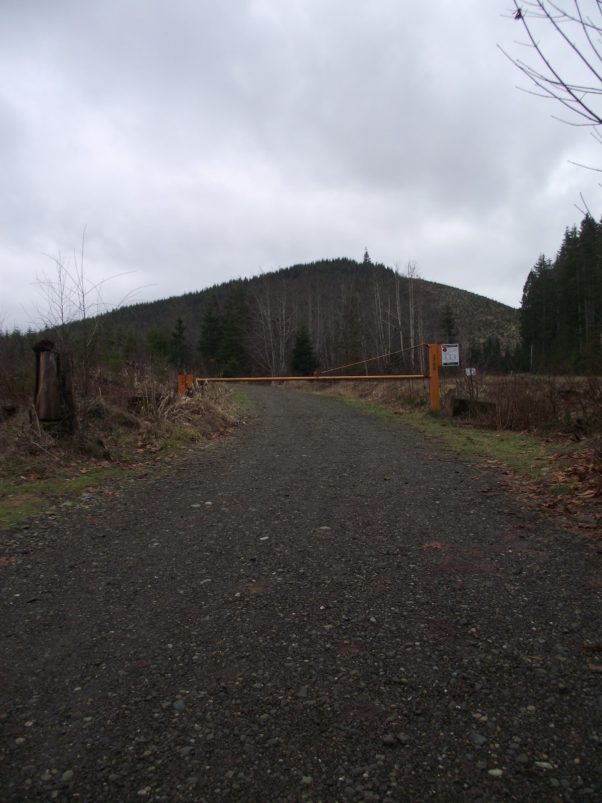
And now the long walk back and we were already exhausted because of our crazy detour. This is the trail we should have taken to the cache.

We left the cache area just before noon and we didn't get back to the truck until about 1:15. We stopped a couple of times to catch our breath and to let our legs stop burning. We saw a few chipmunks, raccoon tracks in a mud puddle and even a couple of salamanders. We heard birds chirping, brush moving and Kennedy Creek splashing and babbling.
We were very glad it didn't rain today. We would have been soaked after our detour and it wouldn't have been a very happy walk back to the truck. Overall we walked a little over 5.5 miles for the day. I was so glad I brought snacks for the truck ride home.
Next adventure: Ghost Town off of Boardeaux Road in the Capitol Forest.
No comments:
Post a Comment